


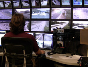
FDOT's Connected Mobility and Technologies Program (CMTP) within the Traffic Engineering and Operations Office is focused on implementing technologies and innovative solutions to improve efficiency of transportation systems, improve safety and ensure mobility. The section leads Connected and Automated Vehicles (CAV) technology deployment and infrastructure readiness, Statewide Arterial Management Program (STAMP), Wrong-Way Driving (WWD) and Managed Lanes (ML) programs. The section also manages statewide Transportation Systems Management and Operations (TSM&O) software programs including SunGuide® Software, Statewide Express Lanes Software, and Data Exchange Platform for Operational Technology (DEPOT).
Connected Mobility and Technology Programs

Connected and Automated Vehicles (CAV)
The program implements CAV projects, data collection, data sharing and mainstreaming of Connected Vehicle (CV) technologies on FDOT roadways.
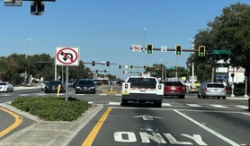
Statewide Arterial Management Program (STAMP)
The program aims to achieve increased throughput, efficient multi-modal operation, reduced travel time, improved safety, and system uptime.

State Connected Mobility and Technologies Engineer
Christine Shafik, P.E., PMP,
CPM, FCCM, FCCN, CGB
605 Suwannee St. MS 90
Tallahassee, FL 32399
Tel: 850-410-5615
E-Mail Us
Additional Contacts
Staff Directory