Roadway Design
Design Hurricane Surge Hydrographs
 |  | ||
| Hurricane Floyd (1999) | |||
|
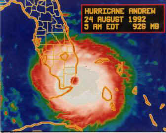
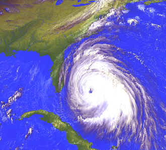
The design flow event for most coastal bridges in Florida is due to hurricane generated storm surge. A number of federal and state agencies (e.g. Florida Department of Environmental Protection (FDEP), U.S. Army Corps of Engineers Waterways Experiment Station (USACOE WES), and National Oceanic and Atmospheric Administration (NOAA)) have generated open coast storm surge estimates for return intervals up to 500 years. In some cases estimates of storm surge hydrographs (water elevation versus time) for key return interval events have been reported. The techniques used to make these predictions are all different. Not only are the computer models different between agencies but the methodologies used in the extremal analyses are different as well. As a result the predicted values of peak water elevation for a given return interval event and the associated hydrograph shape at a specific location can differ significantly. In 2003, Dr. Sheppard was commissioned by FDOT to investigate the various design storm surge guidance and the methodologies supporting the guidance. His report and a spreadsheet documenting his recommendations for locations around the state (available below) have been adopted as policy for design hurricane boundary conditions for Florida DOT. | |||
| Design Storm Surge Hydrographs for the Florida Coast – Report | |||
| Design Storm Surge Hydrographs for the Florida Coast - Exec Summary | |||
| Design Storm Surge Hydrographs for the Florida Coast – Spreadsheet | |||